top of page
Historical Maps
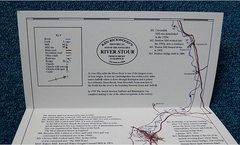
Ken Rickwood’s latest publications are pictorial representations of
two of his favourite East Anglian rivers, the Colne and the Stour.
Beautifully drawn and coloured, each is in the form of a linear map measuring 21cm x 82cm, and is crammed with historical information about mills, bridges and many other features of interest.
Many maps from earlier centuries were printed on linen backed paper and kept in a protective case. In keeping with the subject matter each of these new maps is printed on linen textured paper and are presented in a colourful slipcase.
With a limited edition of 200 copies, these unique maps are
individually numbered, signed and stamped by the author
£27 Inc P&P


bottom of page
